Saturday, March 29, 2014

March 28, 2014 The Thirteen Original Colonies

Social studies, math, science, research, writing, literature, art, role playing--all these were part of our study of the colonization of the New World. Our classroom turned into a colonial village (one said we should call it Townetowne!) complete with a general store, a blacksmith and a whitesmith shop, a glassblower, a weaver, the Navigator Tavern and more. Let the trading begin!

So many good books!

Wampum trading beads

Writing with quill pens

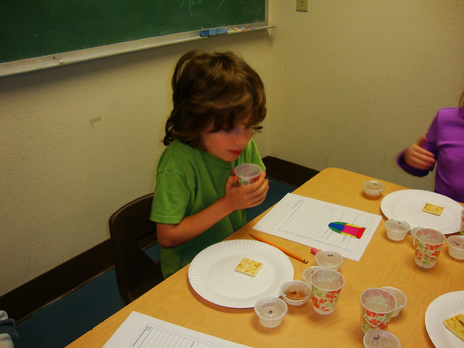
Using a hornbook to learn our math facts

Researching the who, what, where, when, why and how of the New Hampshire colony

Reporting to his classmates 

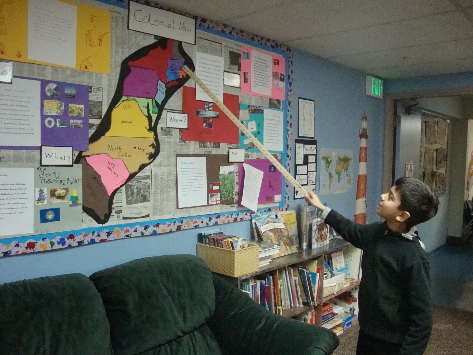
Showing us his colony on the map

Drawing a colonial village

Adding various businesses

Complete with a village green

"Made for Trade" game

A colonial treasure hunt at history.org/kids

More colonial games

Nine Man Morris strategy game

Making corn husk people

This corn husk person looks like Attean,  a character in the book The Sign of the Beaver.

Making merchandise for the General Store

The blacksmith and glass shop is getting ready. 

The general store has quite a variety.

We're ready for business.

The whitesmiths and Toy Shoppe owners

You won't want to miss it!

The General Store

Let the trading begin!

Figuring out the bartering system

Figuring out the change

Mrs. Wollum shopping at the Toy Shoppe


Friday, March 28, 2014

February/March: The Amazing Human Body

Over the past few months we have been learning about the human body. We've made models, watched videos, had guest speakers (thank you moms, dads and grandmas!), done experiments, dissected organs, gone on field trips, done extra research and much more. Even in PE we've been learning about the proper care of our bodies through exercise and eating well. During a recent cardiologist's visit the students made interesting observations and asked very astute questions: 

"What do you like about your job?"
"How many people have you saved?"
"It looks like a very scary branch!" (When looking at the arteries of the heart.)
"That's so cool!" (When seeing a stint on an x-ray that saved a person's life.)
"Your job is like doing video games!" (When Dr. Guerra told us how he does heart surgery by looking at a screen.)


Acting out the circulatory system

Dr. Guerra, a cardiologist, telling us about his work 

 
The Navigators and Explorers shared their 
human body models and what they have learned with the whole school.

We had fun making our models.
Siri let us know that a child's small intestine is 20 feet long. 
So, how long is 20 feet? 

Stuffing our guts! 

The Navigators at the end of a science-filled day of school

We had fun designing our own stethoscopes.
This stethoscope doubles as a horn.

Chris Buchanan, a speech therapist,
telling us about speech and hearing 

A model of the ear canal

The ear dream magnifies the sound!

Our eyes work together (using an antique stereoscope)

Bodyology in Bellevue
One of the Navigators is up on stage using her muscles in a unique way!

Fun with friends at Meydenbauer Center in Bellevue

Taste testing with Dr. Coffee, a taste specialist and professor at Clemson University

Tasting sweet, sour, salty and bitter

A brave taster

Thinking...

Not so pleasant

Do I have to?

You go first.

Not so sure

Very sure!


Sunday, March 23, 2014

March 19, 2014 GPS Mapping at West Hylebos Wetlands Park

 The Navigators and Explorers became Cartographers this week with the help of Lester Power, one of our dads and a mapping scientist at Weyerhaeuser. We divided into groups, held our GPS devices up towards the satellites in the sky and walked the trails of West Hylebos Wetlands Park marking important waypoints along the way.


Here's the amazing composite map we made of the park.
(POI = point of interest. We had many of those!)

And here it is compared to the brochure we picked up at the park. It's almost the same!

Here's how we did it.
We made the trip to West Hylebos Wetlands Park,
a sanctuary in the middle of Federal Way, Washington
about ten minutes from our school.

Getting equipped
Clipboard and pencils? Check.

Outline map? Check.


Satellite map? Check.

Rite in the Rain paper to record waypoints? Check. 
Notebook? Check.

Rain? Check.


And we're off to explore, navigate and map the beautiful and wet wetlands!
Waypoints along the path that we programmed into our GPS devices:
Interesting trees

Skunk cabbage

Fungi

The Deep Sink

The sign of the beaver? The turtle?
Bridges

Gadgets are us!


Wrapping it up back at school:

Group C's map was quite accurate.
 Studying our maps:


We ended the day with beautiful sunshine. Mr. Power took us outside and showed us how it takes four satellites to get an accurate GPS location.

We're so grateful to have such supportive and interesting parents that are willing to come in and share their skills and passions with us. Thank you, Mr. Power!